Chart Your Float
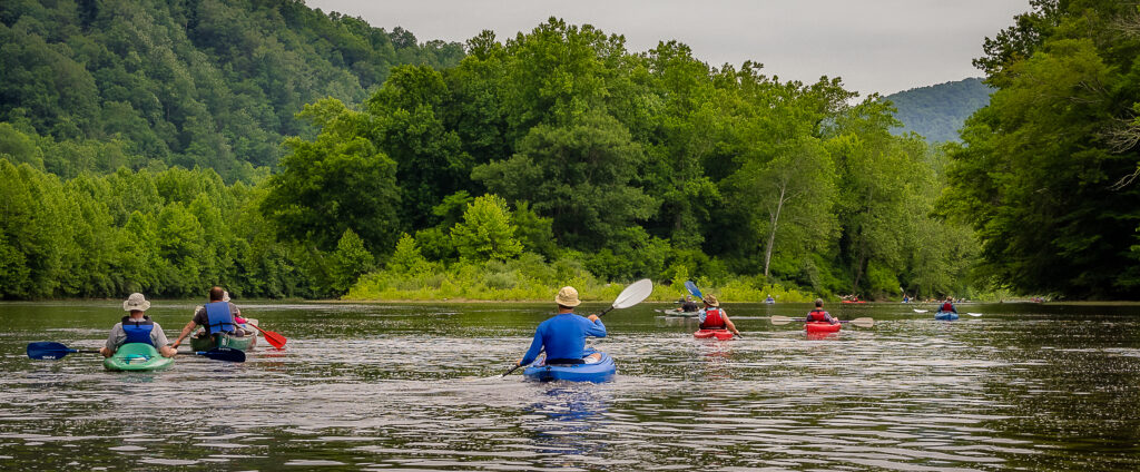
The Upper Cheat River Water Trail is tucked away in the Allegheny Mountains of northern West Virginia. The river’s prime location puts a scenic escape within a day’s reach for much of the eastern United States. The rugged topography that surrounds the Cheat, however, provides opportunities for solitude – helping you feel as far away as your mind can imagine.
Hendricks
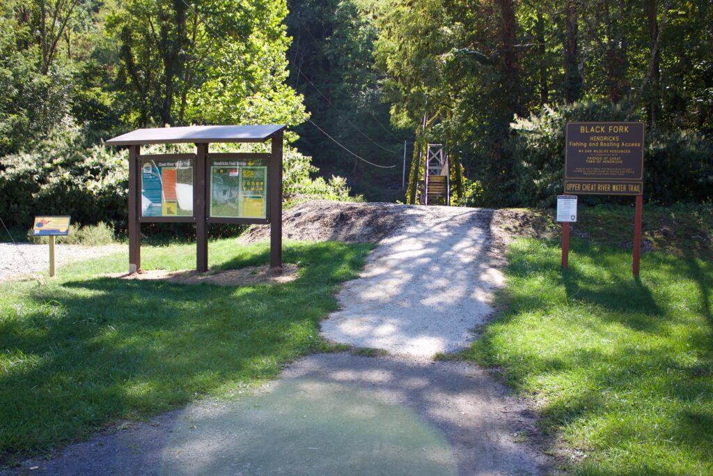
Amenities: Gravel parking lot (7 parking spots) in residential neighborhood, Allegheny Highlands Rail-Trail access nearby with small shelter.
Distance to Put-in: 80 ft, easy access
Trash Receptacles: No
Bathrooms: No
Directions: The Hendricks Foot Bridge is on river right. Exit WV Rt 72 onto Second Street. Cross the Allegheny Highlands Rail-Trail and follow to the swinging bridge. Park in the gravel lot off the road.
Additional Info: *Caution-Experienced Paddlers Only! The section from Hendricks to Nursery Bottom, has been classified as ‘Intermediate’. This section includes fast moving water containing various rocks, holes, currents, and waves that require skillful maneuvering to avoid.
Coordinates: 39.07270, -79.63273
Nursery Bottom
Parkwood Lane
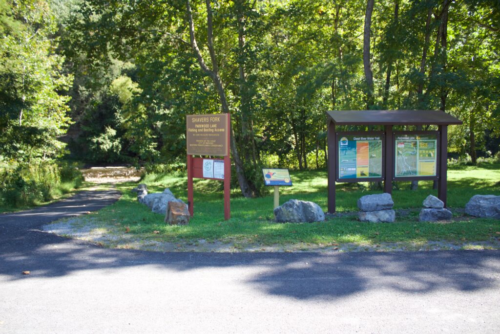
Amenities: Paved parking lot (12 parking spots), Near a community park.
Distance to Put-In: 65 ft, easy access (can drive to the river)
Trash Receptacles: No
Bathrooms: No
Directions: The Parkwood Lane access site is on river left. Exit US Rt. 219 on Davis Street. Turn right on Poplar Street in 0.2 miles. Bear left at ball fields (near Civil War Trail signs) onto a dirt road. Path to river is on the left. Park in the paved lot.
Coordinates: 39.08920, -79.67966
219 Bridge
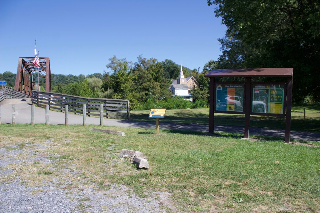
Amenities: Gravel parking lot in town (5 parking spots). Adjacent to Allegheny Highlands Rail-Trail. Near downtown Parsons businesses.
Distance to Put-In: 60 ft, easy access
Trash Receptacles: Yes
Bathrooms: No
Directions: The US 219 Bridge access site is on river left. Access is adjacent to the rail-trail bridge along US Rt. 219.
Coordinates: 39.09727, -79.67845
Holly Meadows Bridge
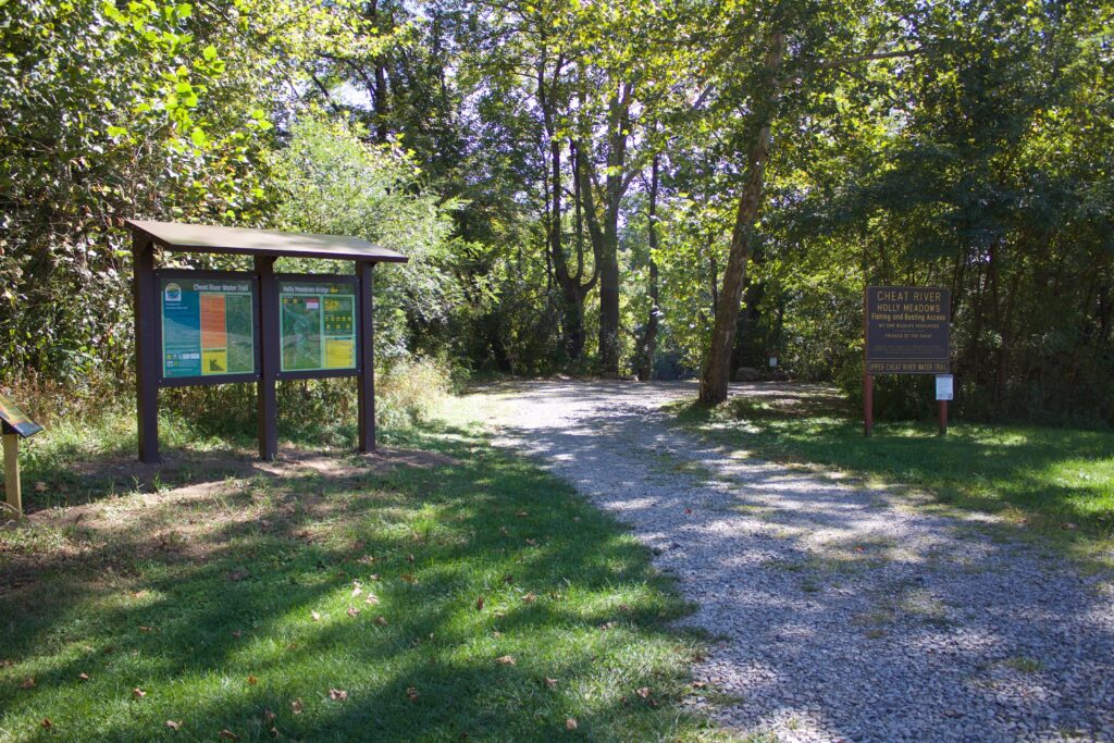
Amenities: Large lot (20 parking spots), paved access, concrete ramp to river. Good for large groups.
Distance to Put-In: 130′ from main parking. Paved access gets you much closer, easy access
Trash Receptacles: No
Bathrooms: No
Directions: The Holly Meadows Bridge access site is on river right. Exit WV Rt. 72 onto Holly Meadows Road. Cross bridge. Access is immediately after bridge on the right side of the road. Follow foot path to the river.
Coordinates: 39.12196, -79.67507
St. George Bridge
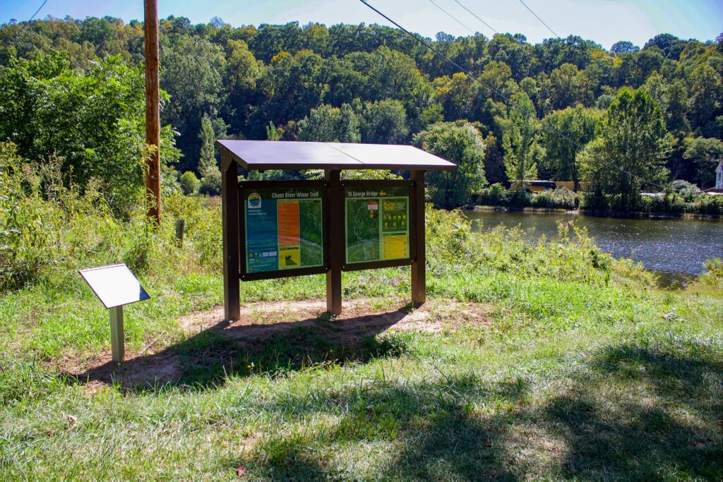
Amenities: Small lot (4 parking spots) by public park, playground present, public restrooms, across the river from Blackwater Outdoor Adventures outfitter.
Distance to Put-In: 20′ from main parking, moderate access
Trash Receptacles: No
Bathrooms: Yes
Directions: The St. George Bridge access site is on river right. Exit WV Rt. 72 onto Location Road. Cross the bridge and take the first right. Follow through the park until it dead ends.
Coordinates: 39.16538, -79.70631
Hannahsville Ford
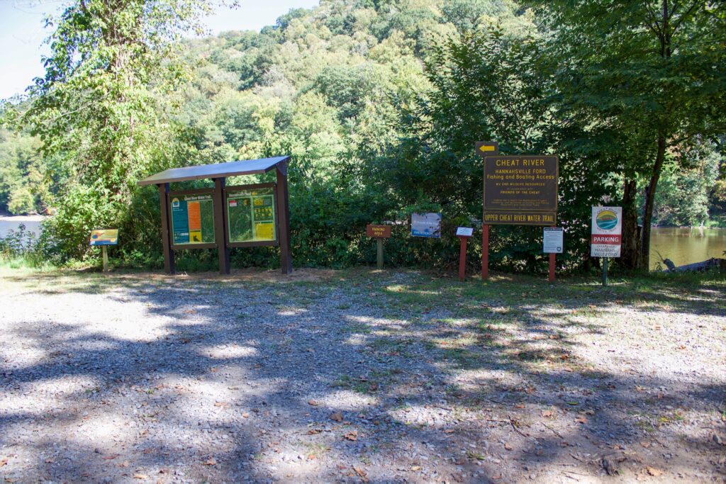
Amenities: Small lot (5 parking spots) down farm road, gravel access to river.
Distance to Put-In: 100 ft from main parking, can drive to the river, easy access
Trash Receptacles: No
Bathrooms: No
Directions: The Hannahsville Ford access site is on river left. Exit WV Rt. 72. 0.3 miles south of Seven Islands Road. Follow Scales Limestone Road to grassy area. Park to the right of the path to the river.
Coordinates: 39.24540, -79.70764
Riverview Lounge
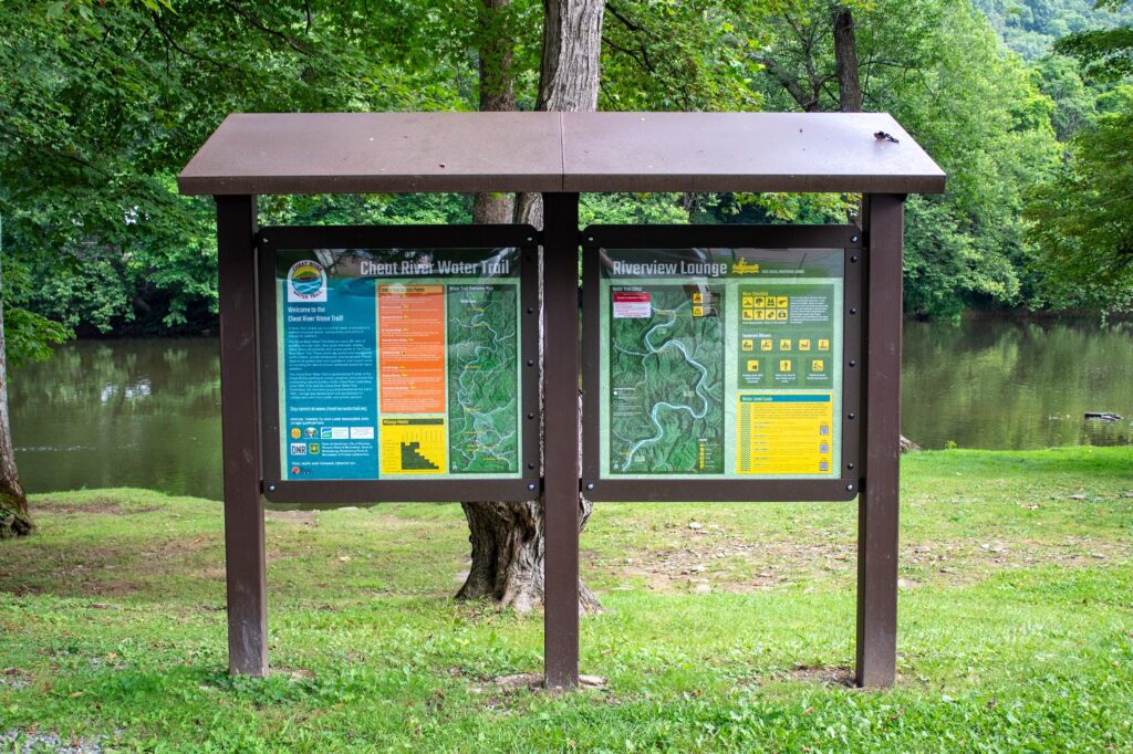
Amenities: Access behind bar (8 parking spots). Pull through access with picnic tables
Distance to Put-In: 40 ft from main parking, easy access
Trash Receptacles: No
Bathrooms: No
Directions: The Riverview Lounge access site is on river left. Enter via gravel road to the left of the Lounge. Unload and park across Rt. 50.
Coordinates: 39.31989, -79.68286
Rowlesburg Park
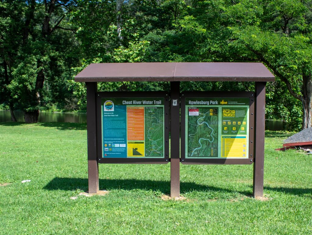
Amenities: Public parking at Rowlesburg Park (19 parking spots). Playground and overflow/staging area present, public restrooms
Distance to Put-In: 20 ft from main parking, moderate access
Trash Receptacles: Yes
Bathrooms: Yes
Additional Info: Rowlesburg is the END of the Cheat River Water Trail. The next section requires whitewater boats. NO recreational or flatwater boats beyond this access point.
Directions: The Rowlesburg Park access site is on river left. Enter the park at Buffalo Street or Catherine Street. Load and unload in the grass, park on the street or paved lot.
Coordinates: 39.34936, -79.67082
How to use the Interactive Map:
The interactive map shows access points for the Cheat River Water Trail, the Cheat River Narrows (whitewater), and the Cheat River Rail-Trail (walking, running, biking trail along the Narrows). To remove the icons from any section of the river or rail-trail, click on the menu located at the top right of the map, and deselect the sections to remove them.